


A wander around the U.S. of more than 18,000 miles · December 2015 – March 2016
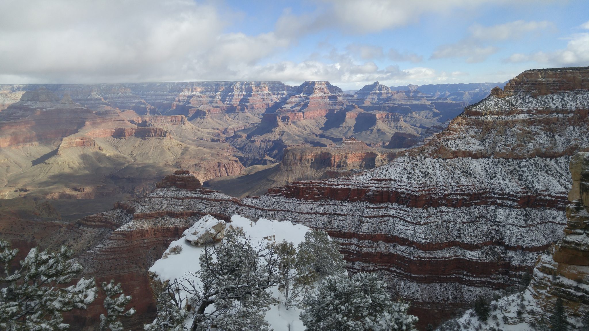
I left to remember that time is short, and drove until I could see the distance again.
On November 18, 2015, I was at the top of Double Peak in San Marcos, looking through a telescope, when I watched a helicopter come apart on the runway at Palomar Airport. Two men were killed that afternoon. One of them, I found out later, had lived less than a mile from me in Cardiff by the Sea. I never met him, and now I never will.
It landed on me starkly: life is short, and none of us is told when the time is up. Within a month I was gone. There was exactly one obligation waiting at the far end of the winter — a conference called BIL that I was helping to organize in Los Angeles, April 1 to 3 — and it was the only pin stuck in the map and the calendar. I had also just been released from having to be physically present in San Diego for Project Oink, an electronic piggy bank I was building for Capital One. We were between phases: legal, risk assessment, and a stack of other functions belonged to other people and to a room, and the piece still on me was research — interviewing and observing kids around money, watching what they actually did with piggy banks and allowances and the small artifacts and rituals of saving. That work travels. So I pointed the car out of town and let the country decide the rest.
I did not set out to circle the country. The plan was to head east as far as I could get and turn around when the project picked back up.
West
The first stop that meant something was Burro Creek, out in the Arizona desert, where my dad used to take us camping when I was a kid. It felt right to start the whole thing at a wash I’d known before I knew much of anything.
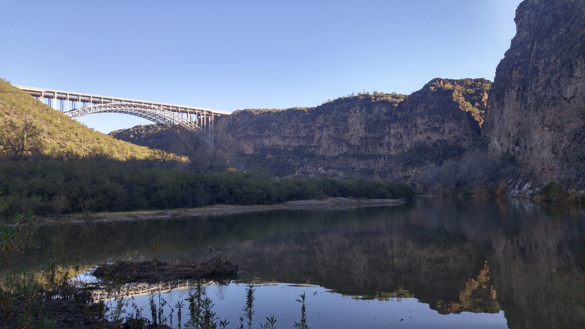
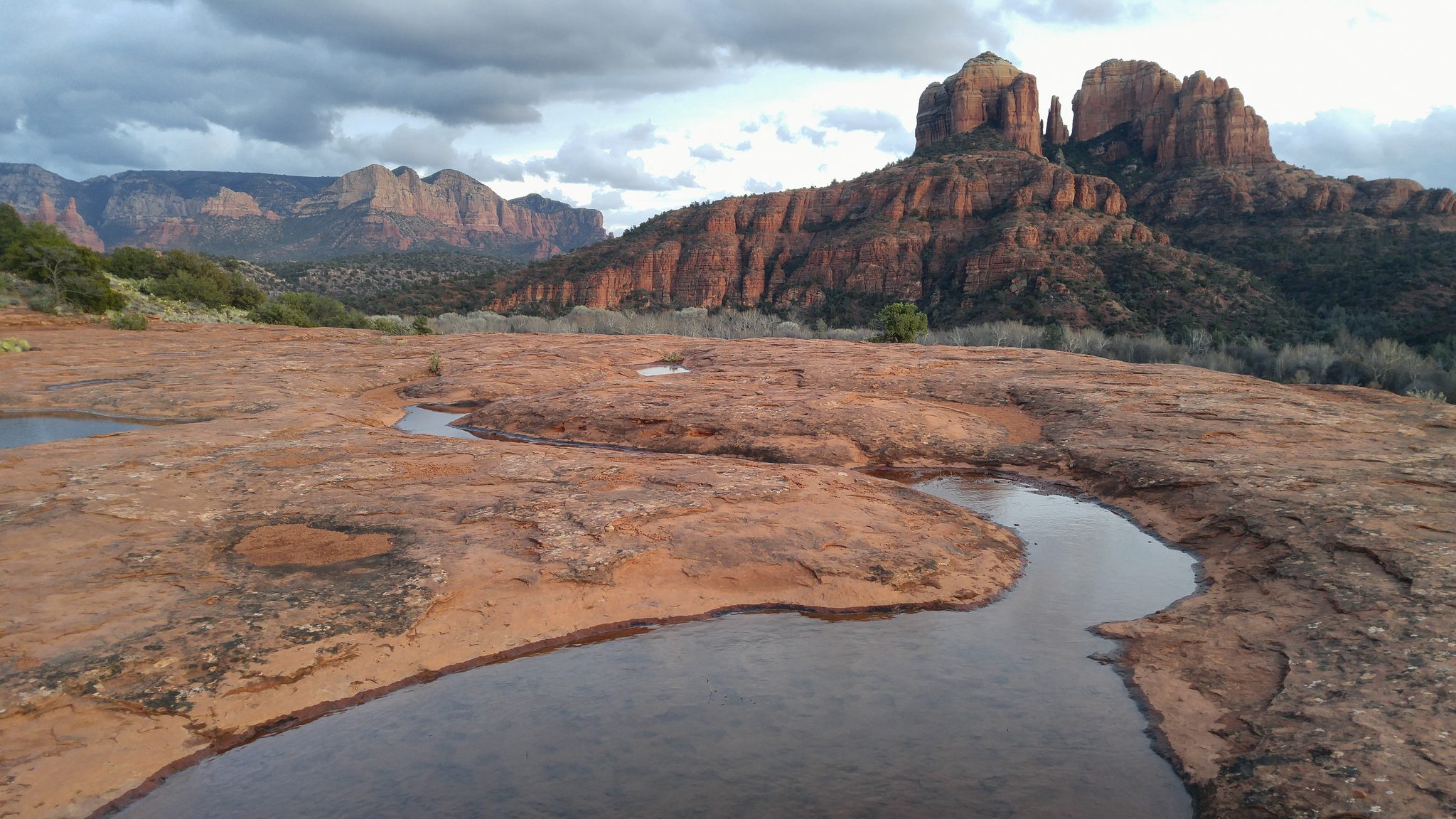
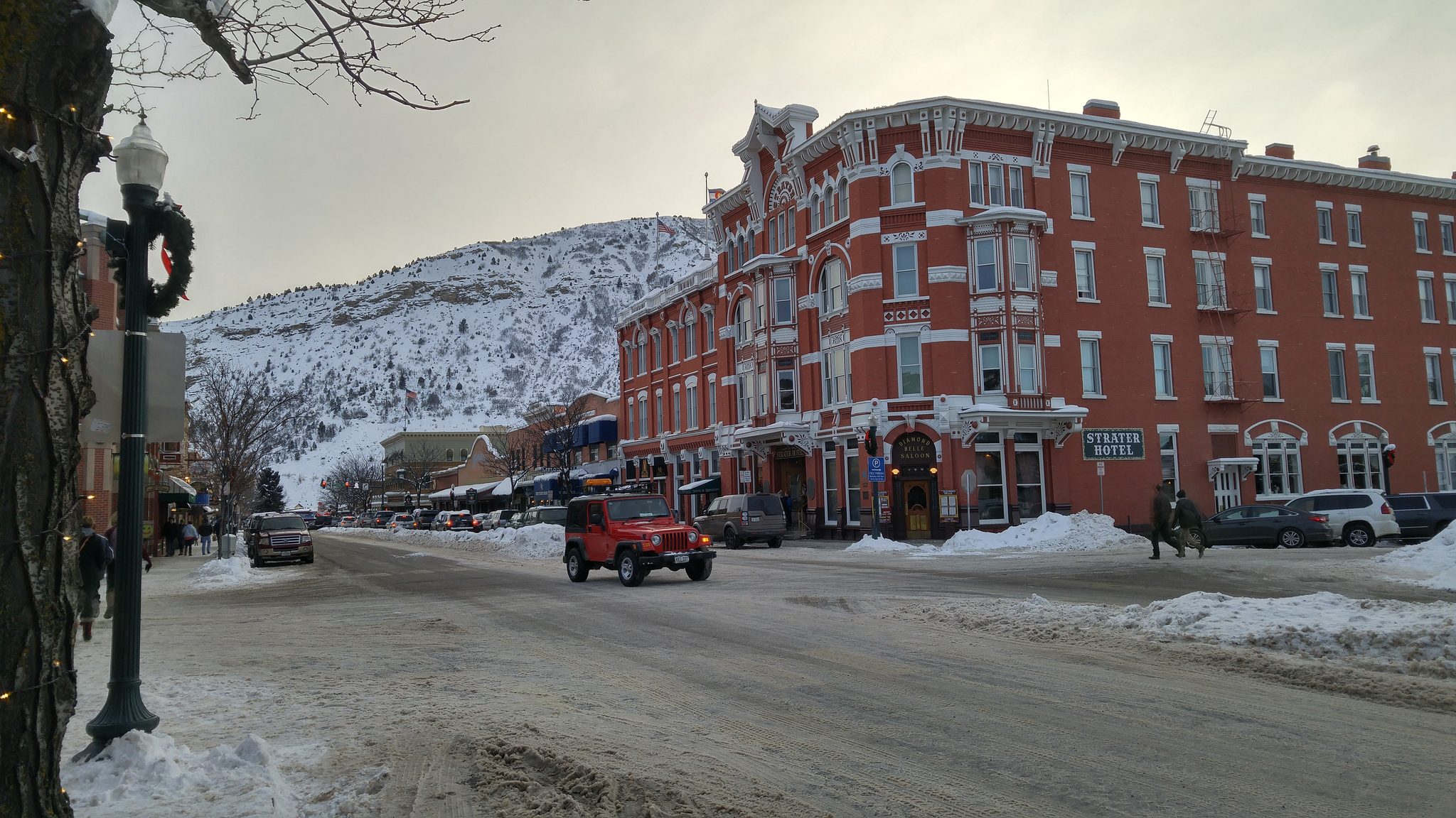
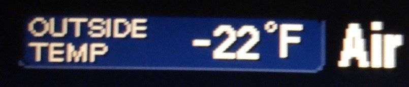
From there the West did what the West does; it got bigger and colder. Prescott, the red switchbacks of Jerome and Sedona, and the Grand Canyon on Christmas Day with snow on the rim. The night after Christmas I camped outside Durango, Colorado, and it dropped to twenty-two below zero. I lay in the bag running the arithmetic on my own body heat, and in the morning I was still there to be grateful for it. Then Denver, Boulder, Evergreen, Nederland — friends and woodsmoke.
South
I crossed into the new year in Austin, then bent east and south — St. Louis with my high school friend Ralph Cordova, Terre Haute, Nashville, Shreveport. Near Gramercy, Louisiana, I stopped at the Whitney Plantation, which tells its history from the point of view of the people who were enslaved there. I walked it slowly and said very little. Some places you go to enjoy; some you go to answer for.
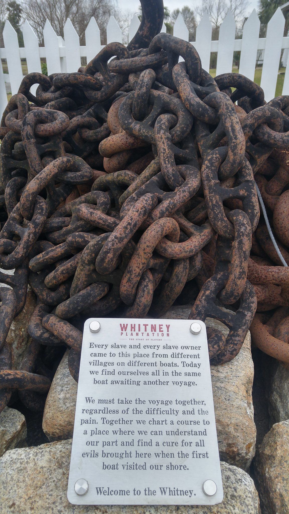
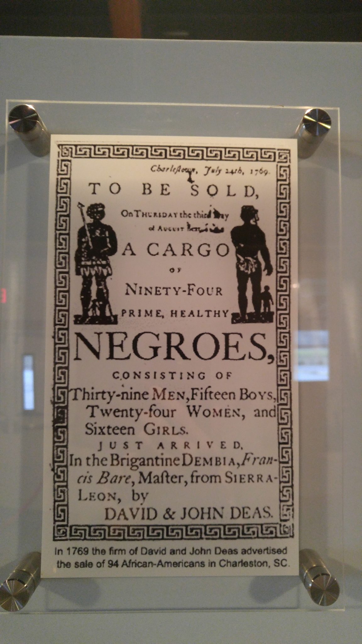
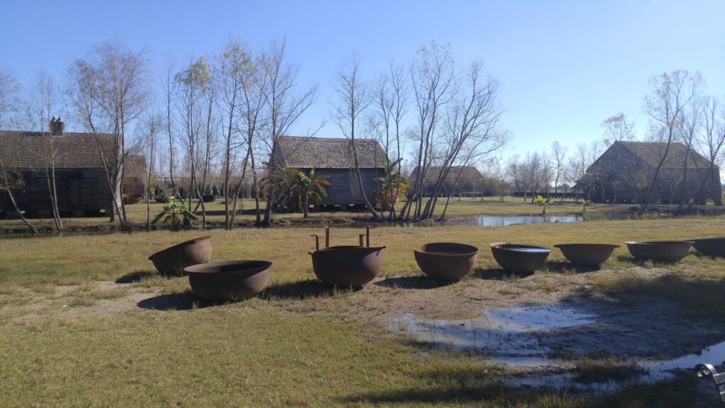
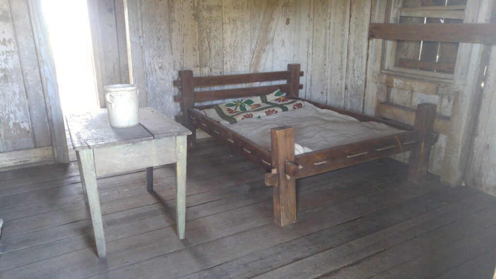
Whitney Plantation, Louisiana — its history told from the side of the enslaved.
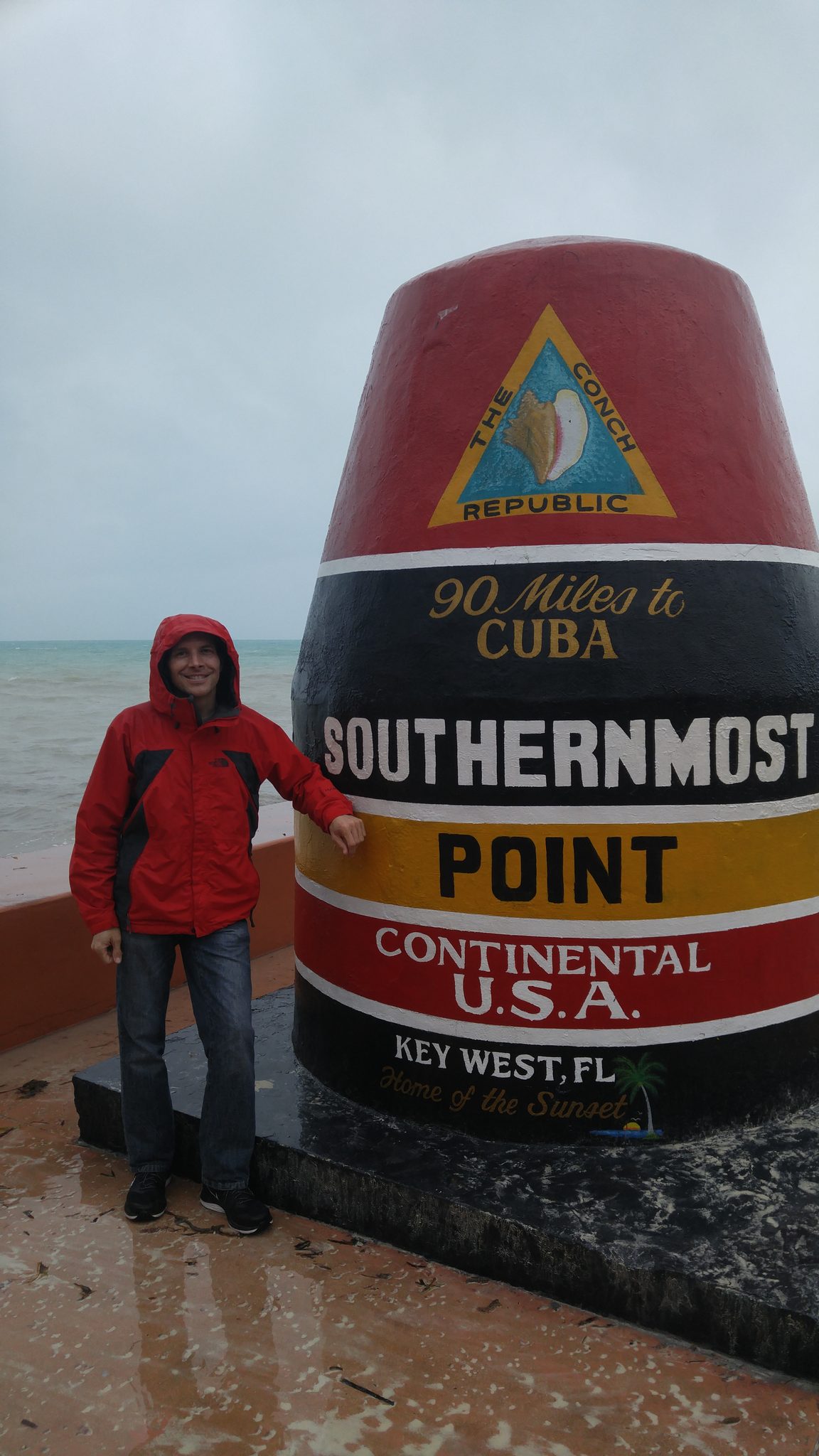
Then New Orleans, happening upon Mardis Gras without even planning, and down into Florida: Orlando, and Fort Lauderdale to see my Uncle Joel. I kept going south because there was still south to go, the Keys unspooling on their causeways until the road simply ended after 43 bridges and 106 miles. Key West is the furthest south you can drive in the lower forty-eight. Standing at the bottom of the map, I got the idea that would organize everything after it: if I’d stumbled onto one corner of the country, I could go and find the other three. By then the next phase had slipped, and then slipped again, and the call to come back kept not arriving — so the turnaround I’d been waiting for never happened, and the loop stayed open.
The East Coast
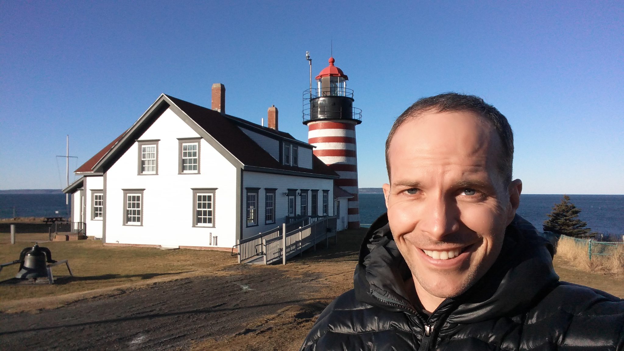
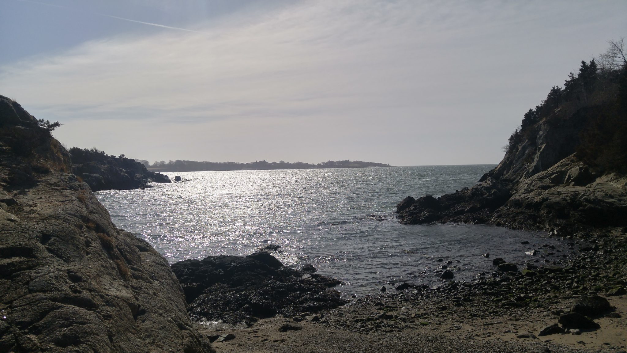
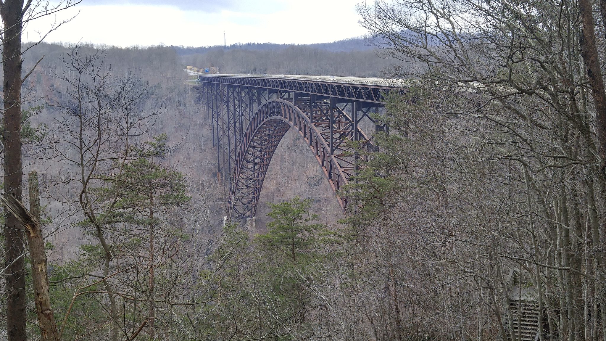
So I turned north up the seaboard and started collecting edges. Myrtle Beach with Max and Patty; Baltimore with Phil, Amber, Ian and Millie; New York City to see Tiffany; the length of Long Island. In Rhode Island I found the beach where Wes Anderson filmed Moonrise Kingdom and stood inside a scene I’d only ever watched. Concord, and then up into Maine — Brunswick, Acadia, and finally Lubec and Quoddy Head, the easternmost point, where the land gives out into fog and the next thing is the open Atlantic. I crossed to Campobello Island, an exclave of Canada, then doubled back through New Hampshire and upstate New York, Corning and Lancaster, and stood a long while on the New River Gorge Bridge in West Virginia. Two corners down.
North
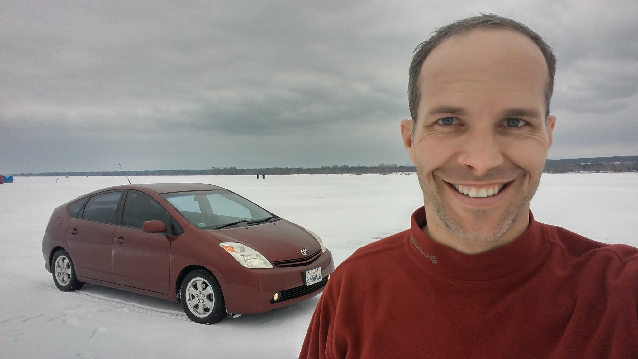
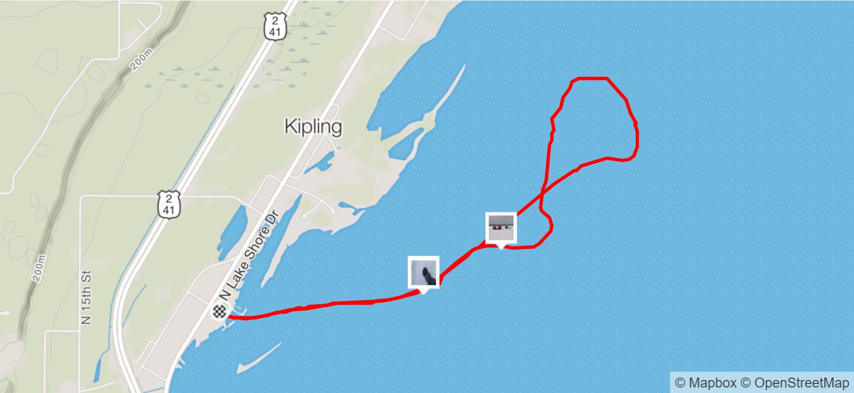
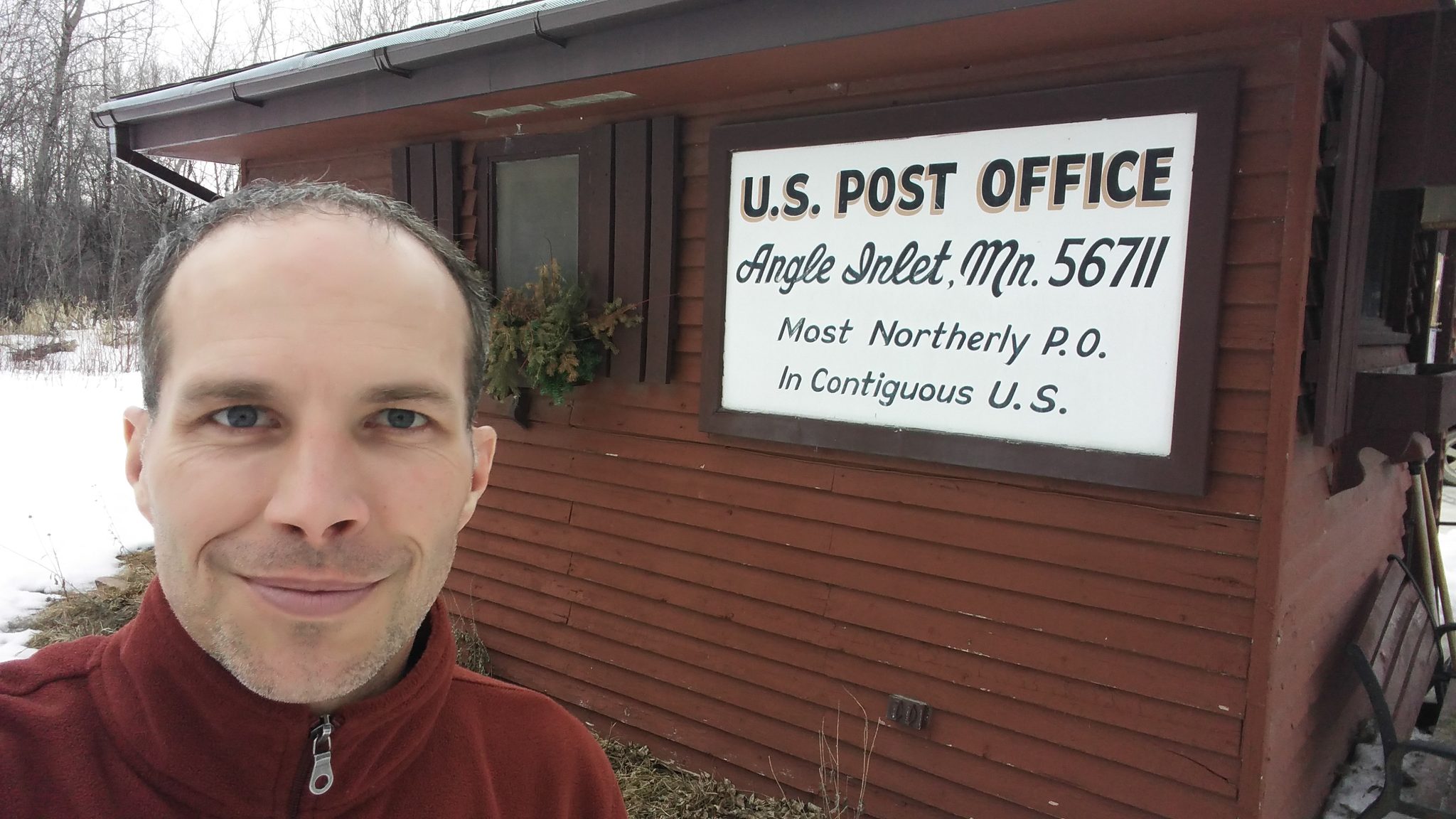
The top of the map is the hardest part to reach in March. I crossed Michigan to Petoskey and Sleeping Bear Dunes, and on Lake Michigan a local talked me into driving four miles out onto the ice. The only dangerous part, he swore, was the boat ramp down onto the edge; past that the ice was thick enough to hold a car and my nerve both. I believed him, mostly. I have the video. Through Wisconsin and into Minnesota, where at Itasca I stepped over the Mississippi at its headwaters, narrow enough there to insult. Then the Northwest Angle — the furthest north you can go in the lower forty-eight, a scrap of Minnesota you can only reach through Canada or across the frozen lake. Three corners. I turned west through Theodore Roosevelt National Park and the Montana high country — Missoula, Billings, Bozeman — with the cold finally starting to lose the argument.
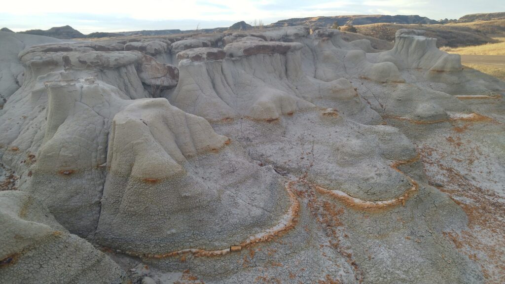
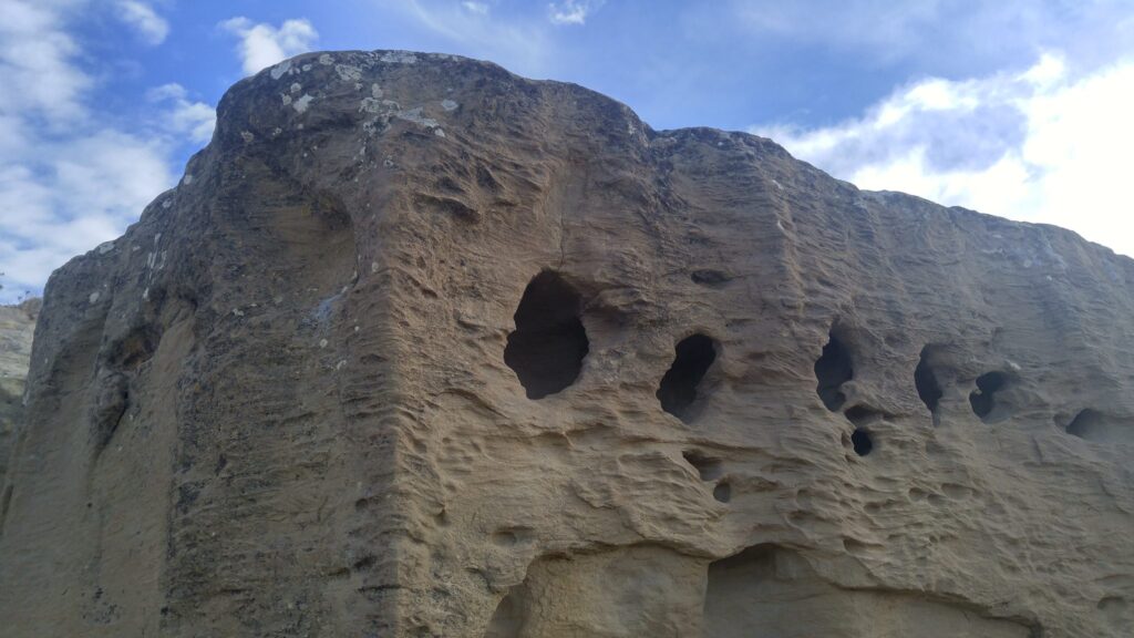
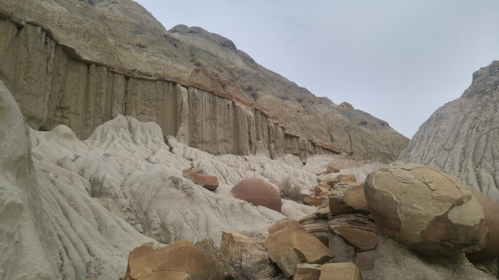
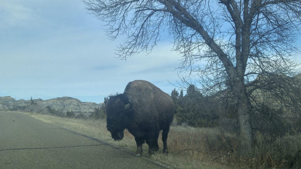
Theodore Roosevelt National Park — the badlands, and a lone bison.
Home
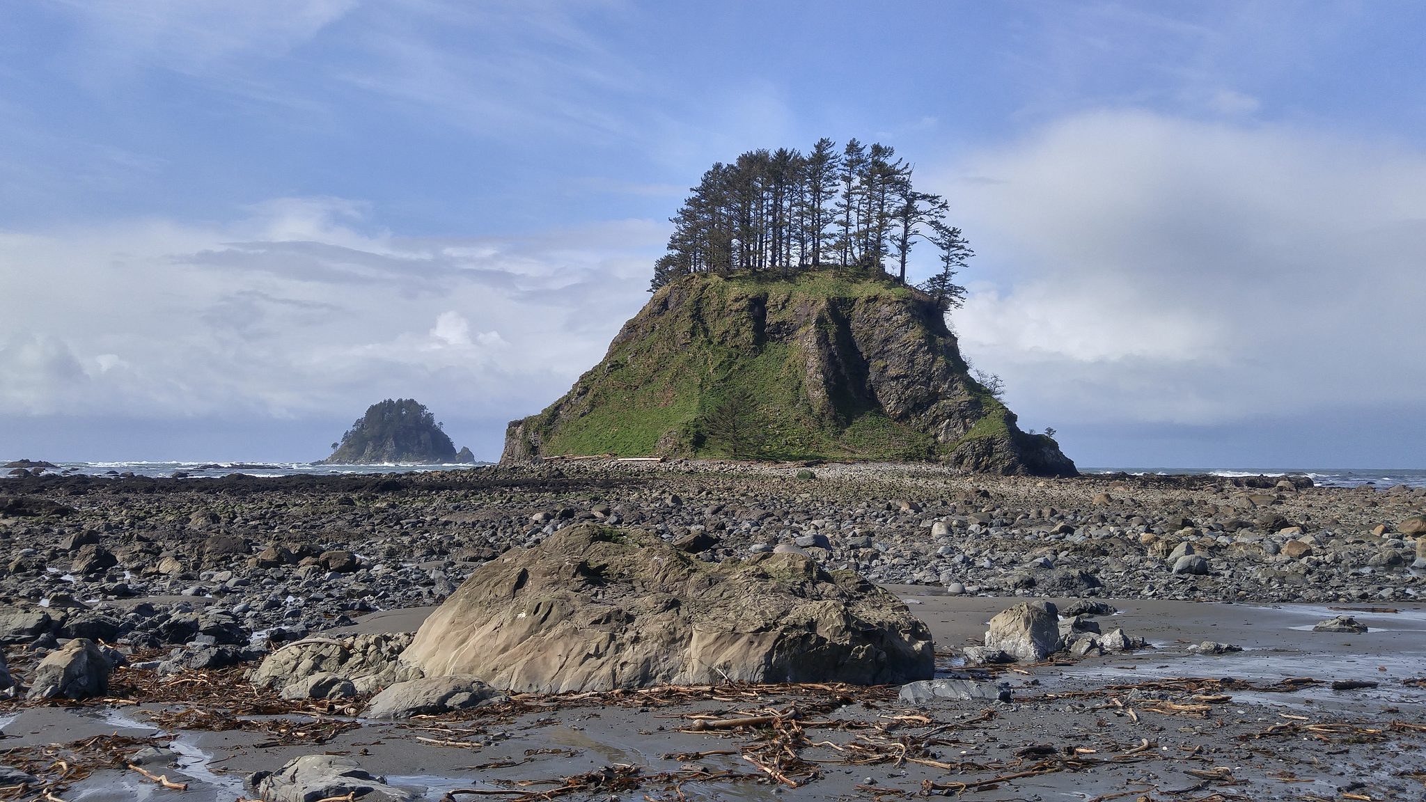
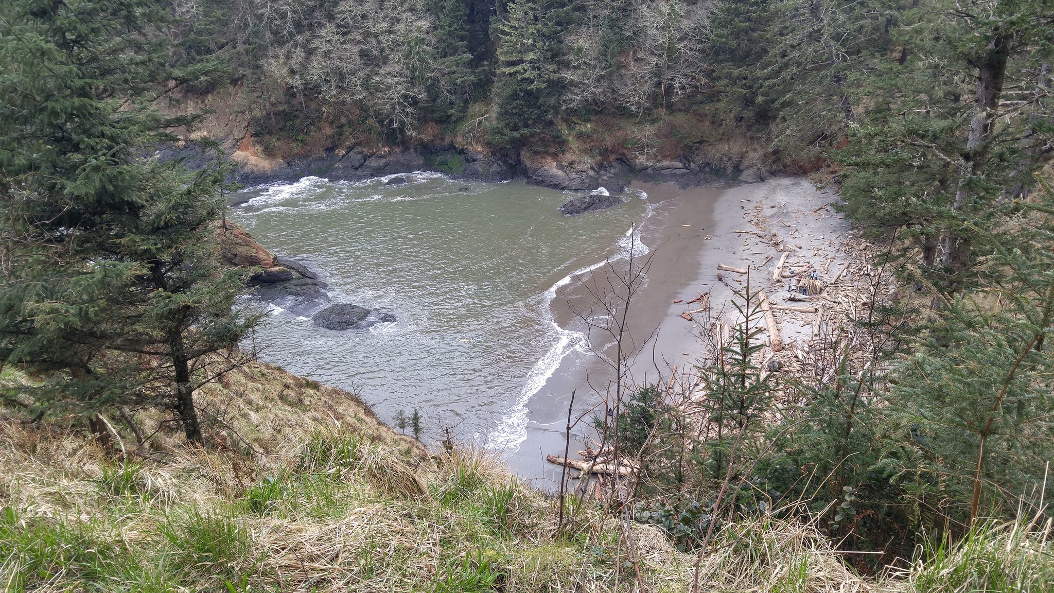
Washington held the last corner, and it made me work for it. Cape Alava is the westernmost point of the lower forty-eight, and you can only reach it on foot — I waited for low tide and hiked out across the land bridge to stand on it. Then Port Angeles, Chris and Karen in Kirkland, Bella in Seattle, and Ilwaco at the mouth of the Columbia. All four corners of the country, gathered across one winter that had started with an accident I couldn’t look away from.
After that it was the long tilt home: the John Day Fossil Beds, Bend, Klamath Falls with Terri, Reno, Sacramento, Santa Barbara. On March 28 I came back into San Diego after about three and a half months and more than eighteen thousand miles — and two days later drove the last stretch back up to Los Angeles, to the one pin that had been waiting the entire time. Then back to San Diego, into the room, in person, to pick Oink up where the road had left it.
I hadn’t posted much along the way; the immediacy was the point, being wherever I actually was, which just enough before the next thing arrived. I came home with nearly four thousand pictures — every one shot on the LG G4 phone in my pocket, the only camera I brought — and a stranger souvenir I can only call altered vision. I seem to look farther into the distance now, and to find the ordinary streets of my own life a little astonishing. That, it turned out, was what the wander was for. I just didn’t know it when I left.
The route
The four corners, as I marked them
- Furthest south — Key West, Florida (January 28)
- Furthest east — Quoddy Head, Lubec, Maine (February 22)
- Furthest north — Northwest Angle, Minnesota (March 9)
- Furthest west — Cape Alava, Washington (March 14), reached on foot across the land bridge at low tide
Along the way
- Coldest night — −22°F camping outside Durango, Colorado (December 26)
- Headwaters of the Mississippi — Itasca State Park, Minnesota
- Four miles across a frozen Lake Michigan, on a local’s dare
- First stop — Burro Creek, Arizona, a campsite from childhood
- The only fixed point — Los Angeles, for the BIL Conference (April 1–3)