Palm Springs to San Jacinto Peak — May 15–16, 2024. About 10,600 feet up to the summit, a night near the top, then all the way back down to the desert.
The Cactus to Clouds route is one of the biggest single-day climbs in the country. We went up the Skyline Trail, camped near the summit, looped out to Hidden Lake the next morning, and dropped back to the valley floor. Mostly photos for this one.
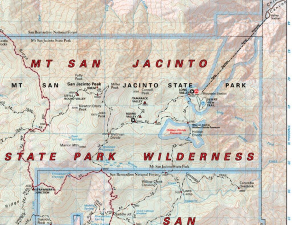
The route through Mt San Jacinto State Park — up from Palm Springs, camp near the summit, out to Hidden Lake, and back down.
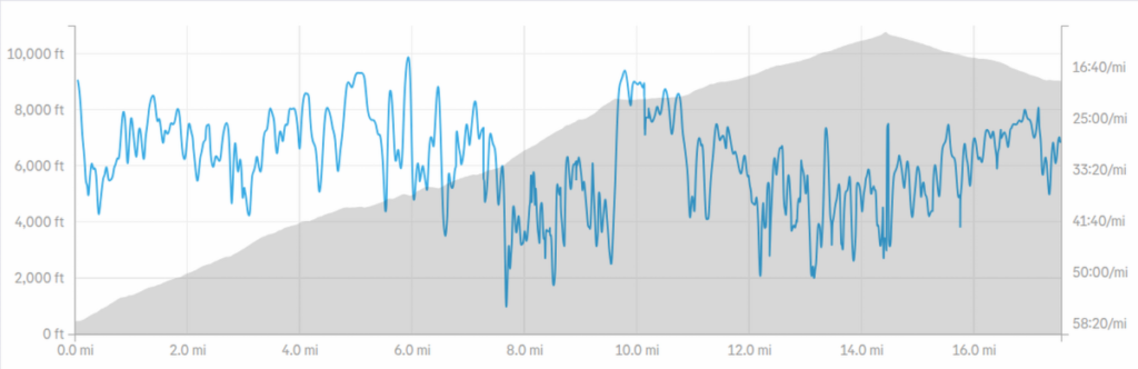
Day 1 · Skyline Trail — 17.55 mi, 10,612 ft climbed, 9:24:25. A near-continuous climb from the desert floor past 10,000 feet.
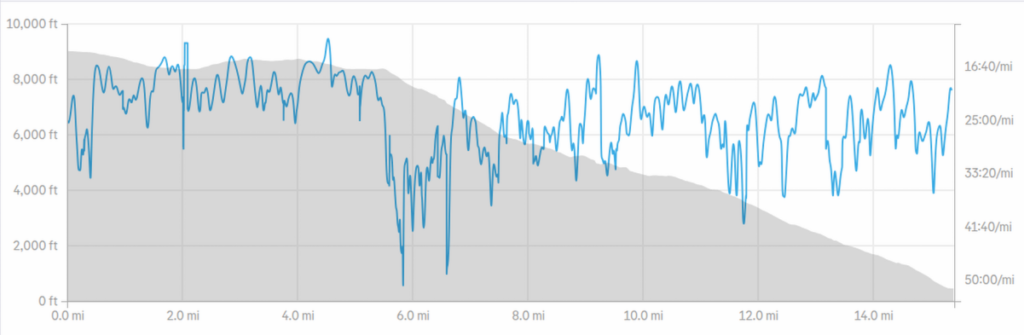
Day 2 · Hidden Lake, then 10,000 feet of descent — 15.40 mi, 6:20:53. Strava logged only the uphill portions.
Day 1 · The Climb
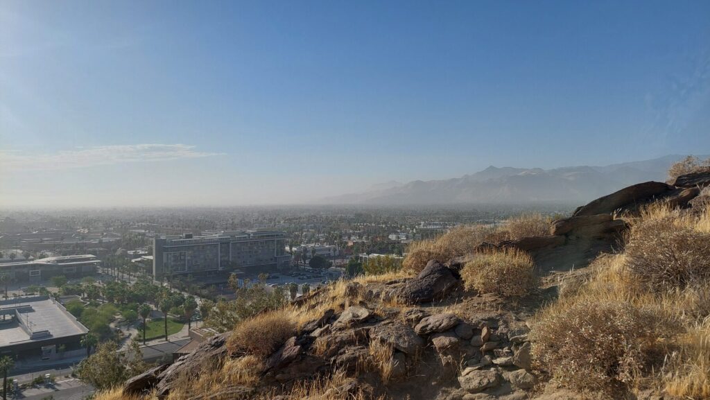
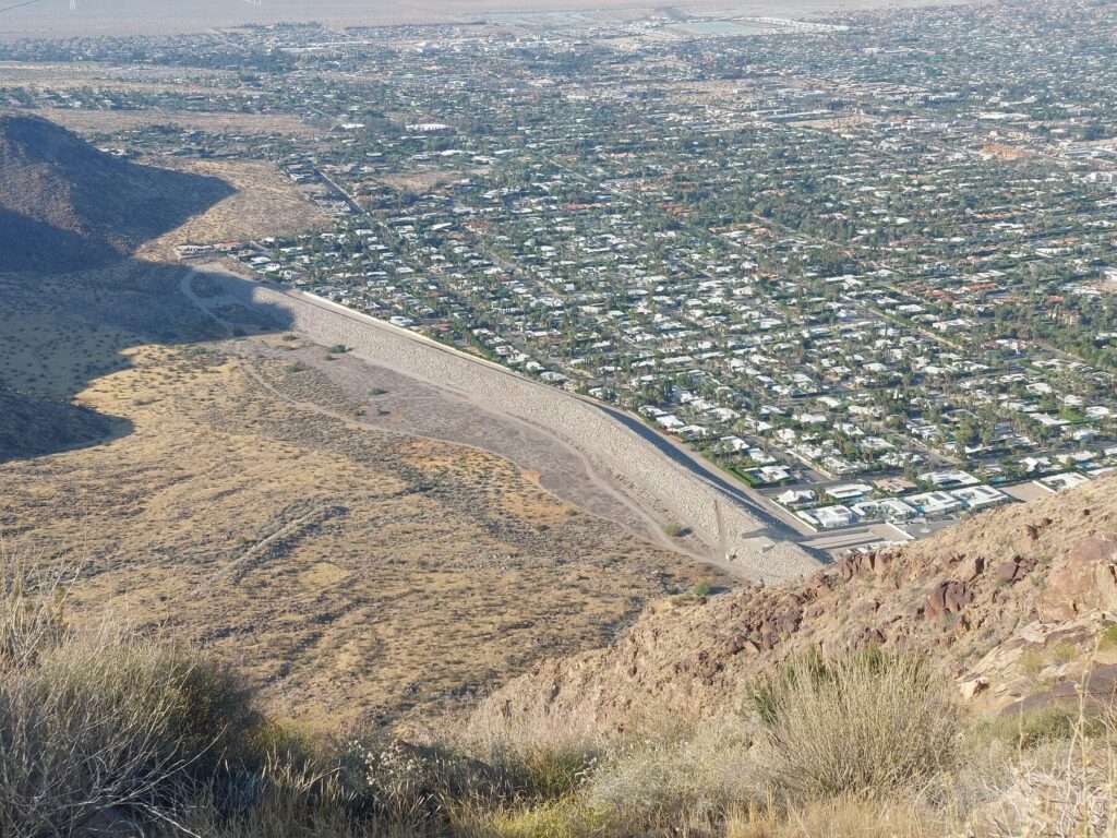
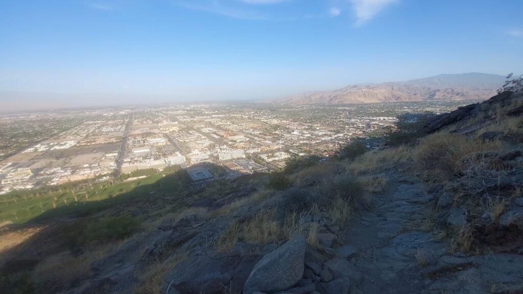
7:33 a.m. — leaving the desert floor. The whole climb is right there in front of you.
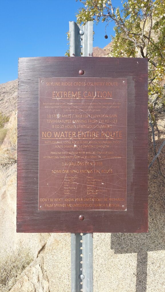
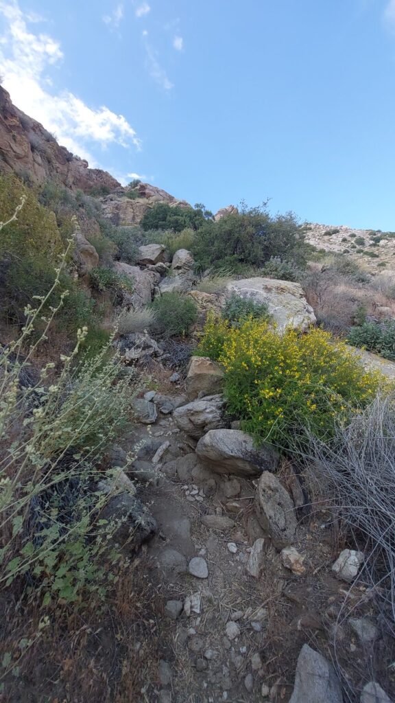
Skyline Trail, early on. Around 8,000 vertical feet still to go.The sign means every word of it: no water, no shade, no easy way down.Up the ridge.
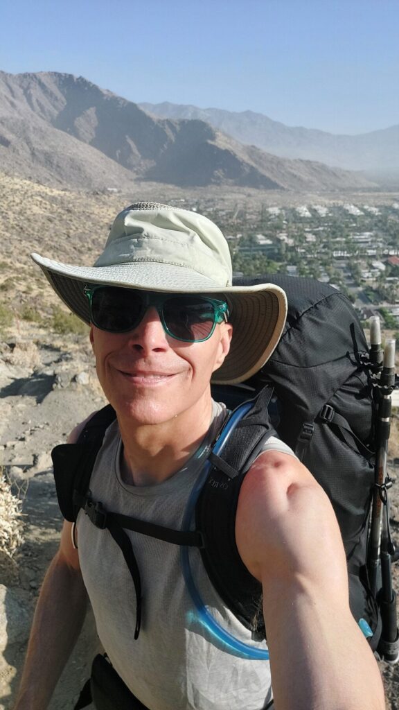
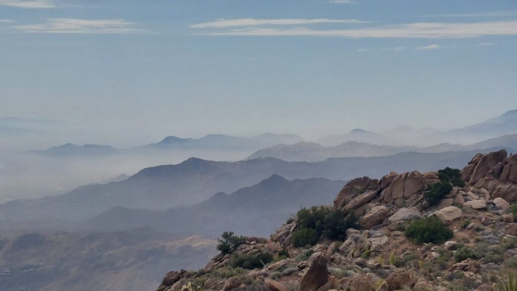
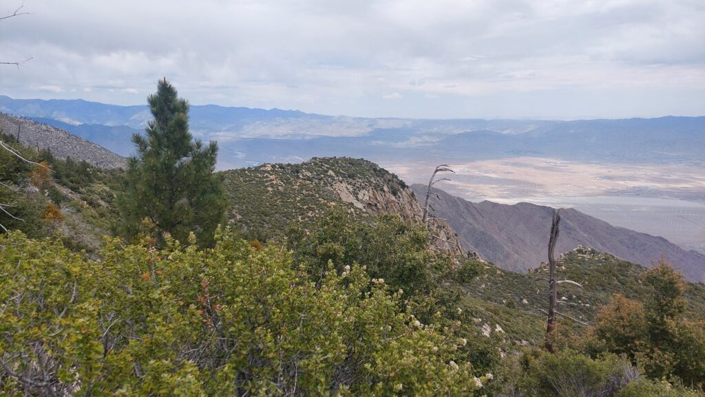
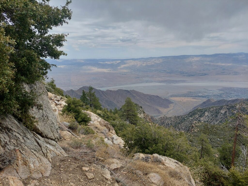
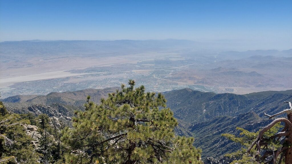
The valley haze falls away below.
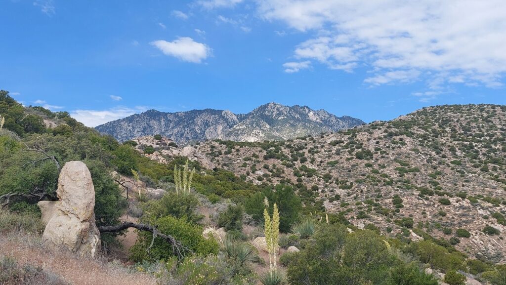
First real look at the high country.
12:07 — the first pine tree. A milestone every Cactus to Clouds hiker counts on.
First pine tree — 12:08.
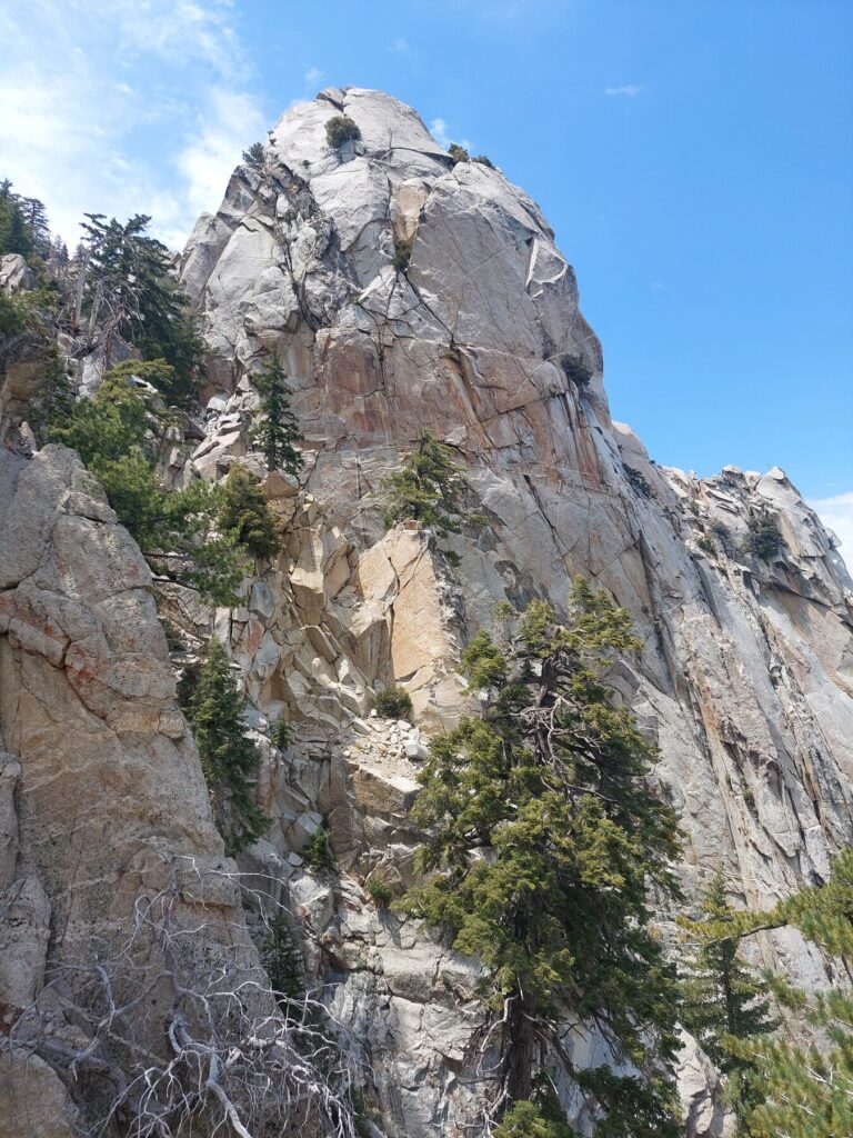
Granite and air.
Some parts steep — 12:34. (Filmed vertically.)
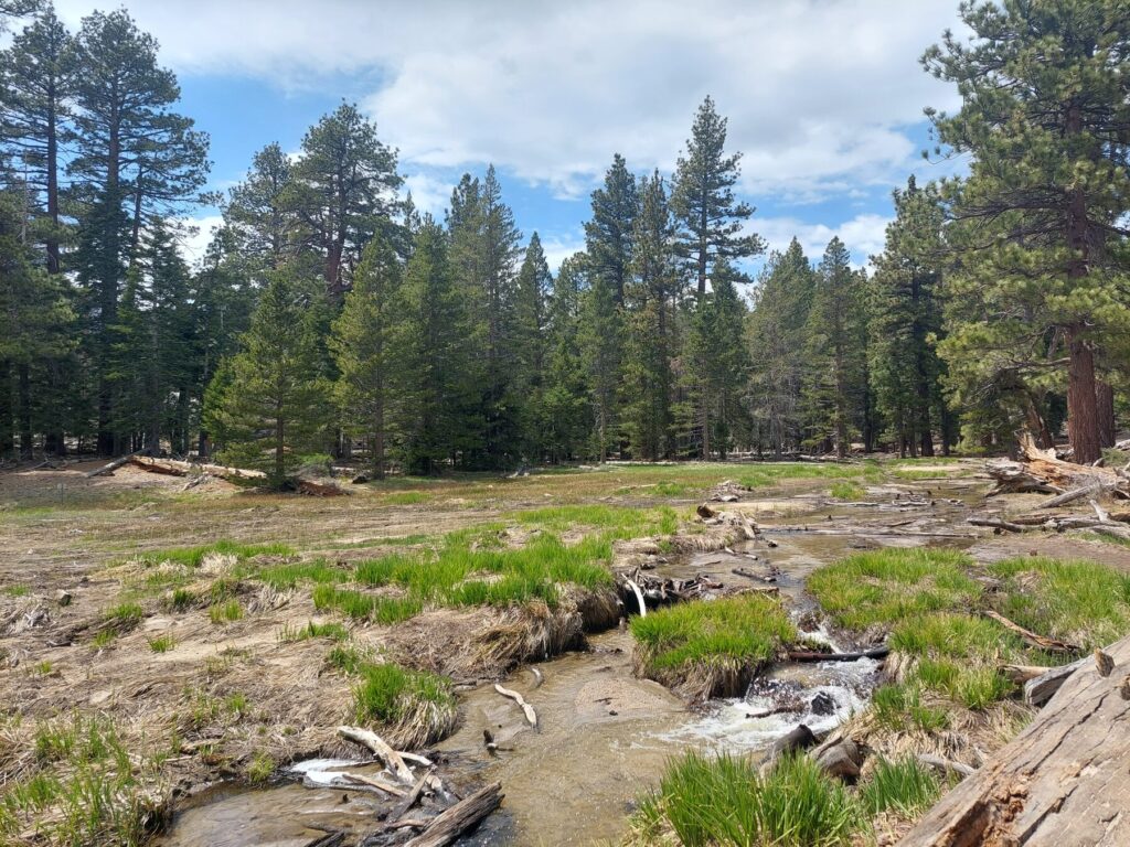
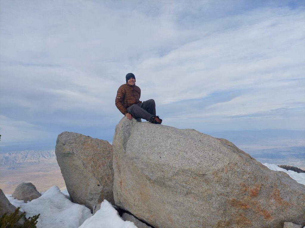
The big granite domes near the top.Into the trees near camp.
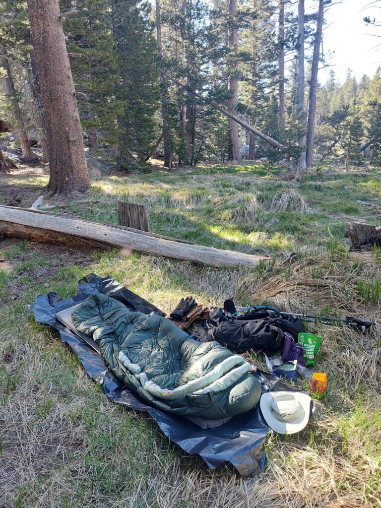
Camp · Evening
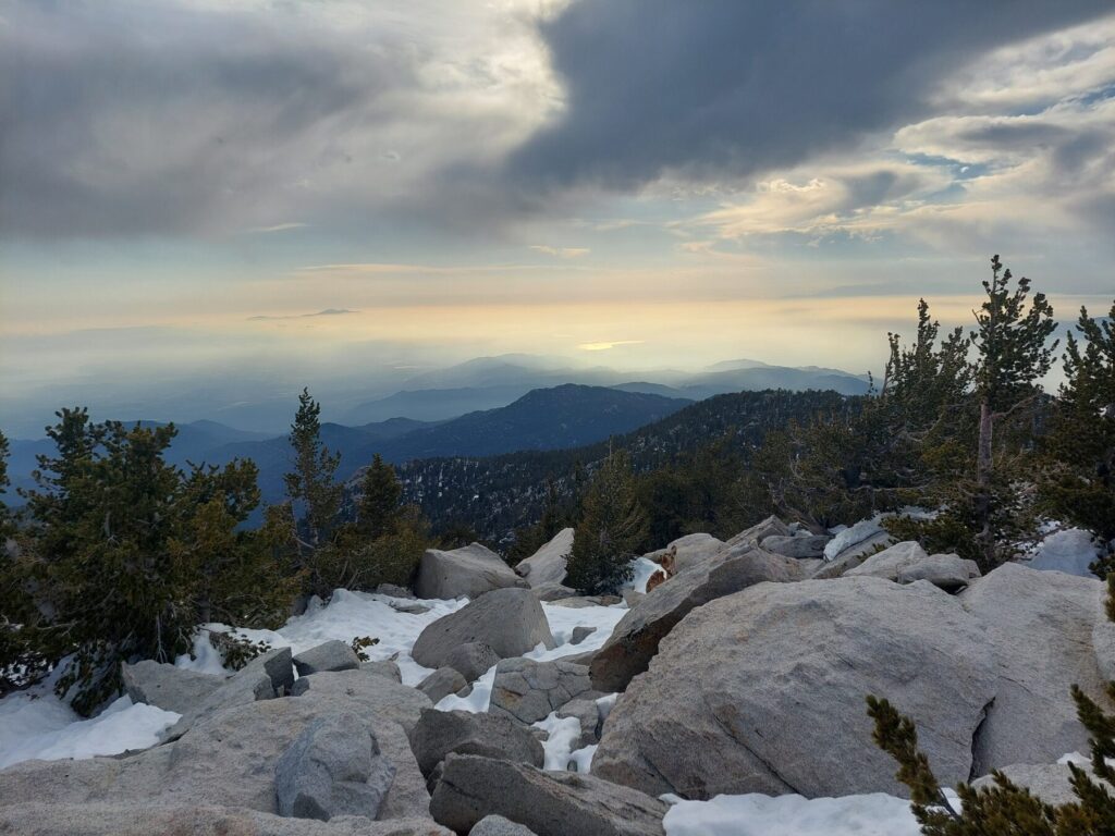
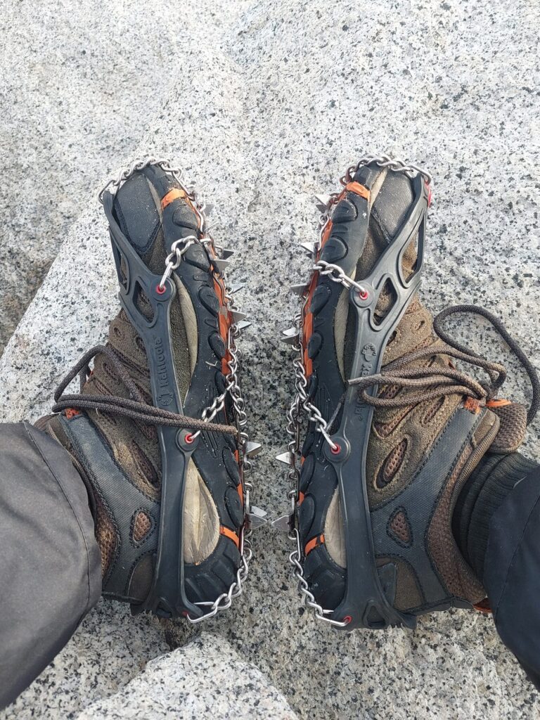
Evening blows in over the boulders.Ten thousand feet up, watching the desert we started from go dark.Spikes on — there is still snow up here in May.
Day 2 · Hidden Lake & Down
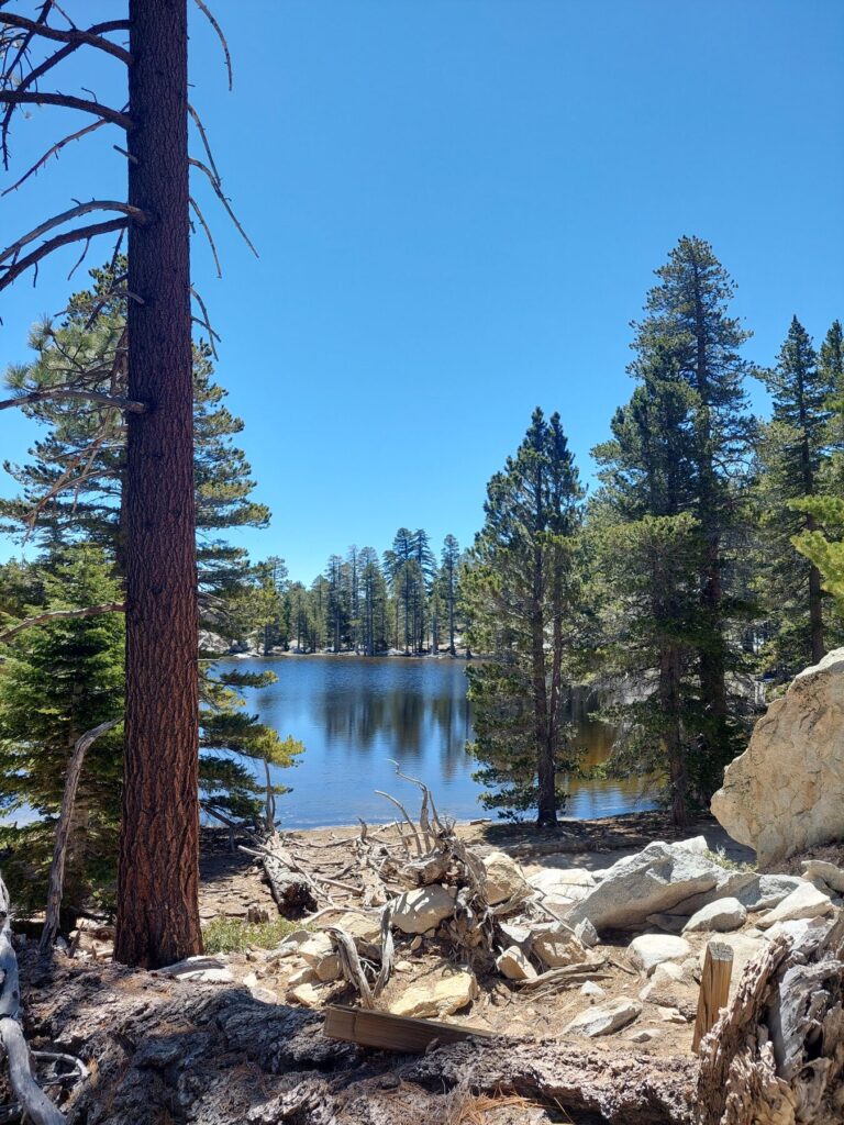
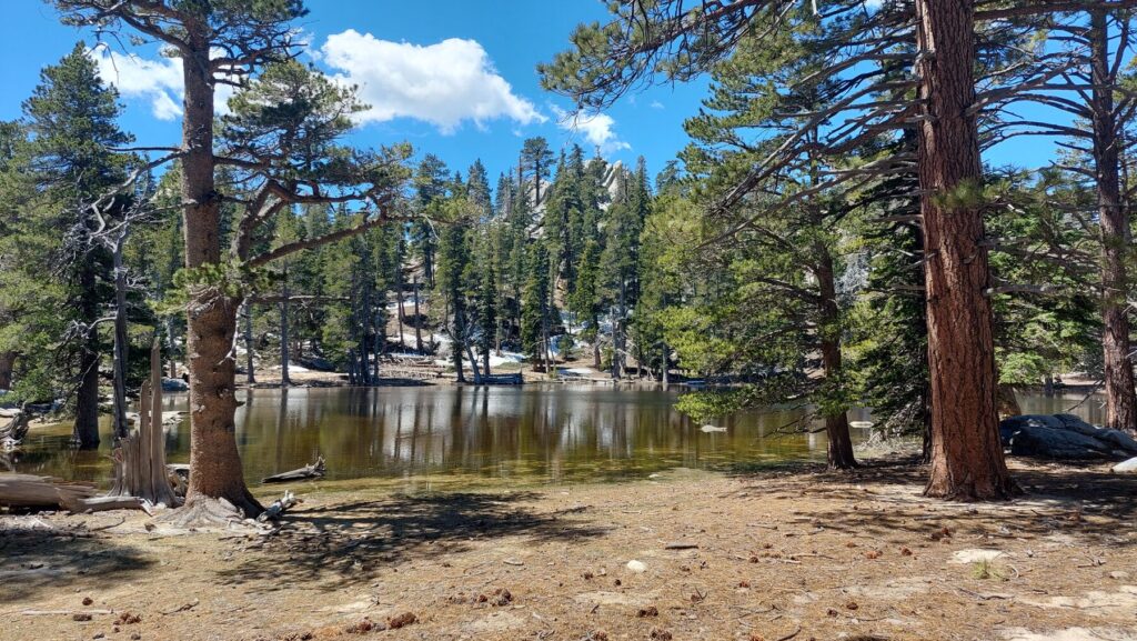
Morning. Breaking camp.Hidden Lake — still and cold.
From above the lake, the long way down comes into view.
One last look at the water before turning downhill.
Rattlesnake on the trail — 17:30.
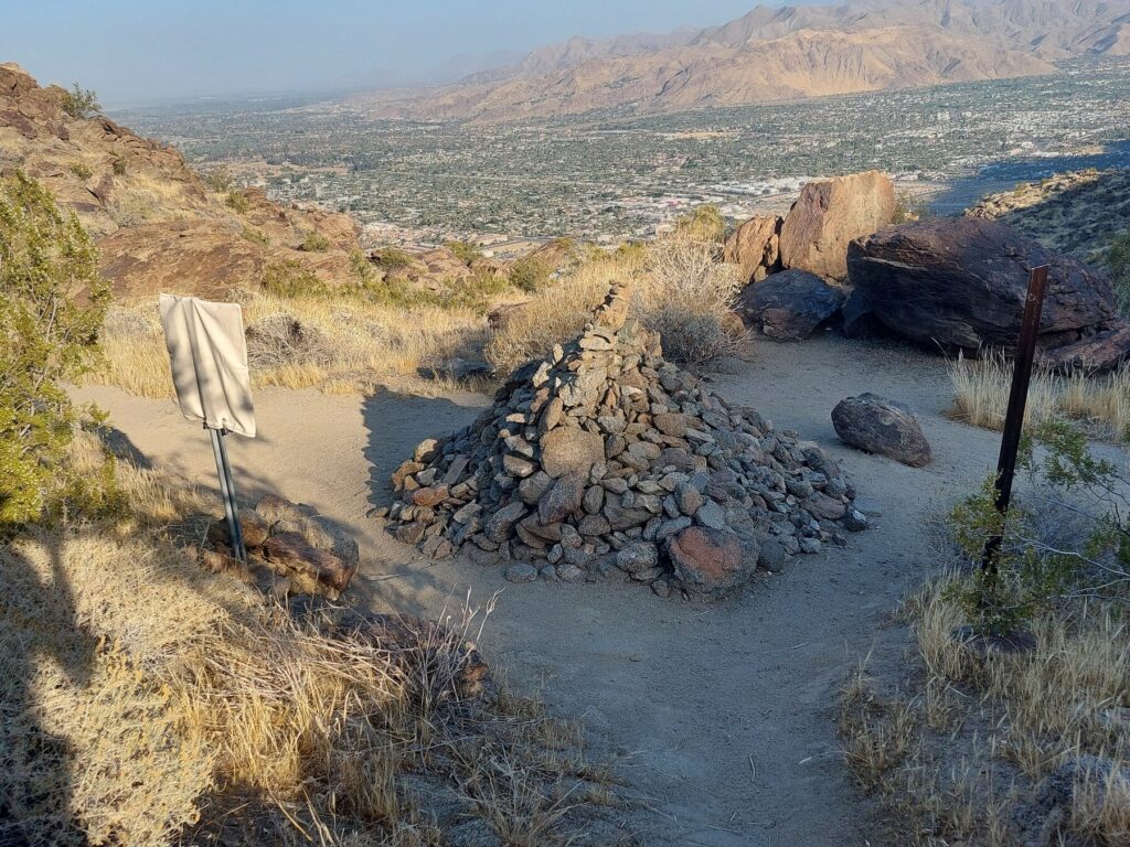
Straight down toward Palm Springs.Cairns marking the way off the mountain.
Trail roundabout — 17:58.
6 p.m. — back where we started, legs thoroughly done.